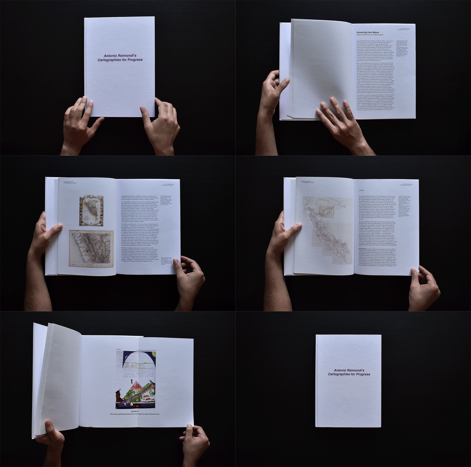
ANTONIO RAIMONDI’S CARTOGRAPHIES OF PROGRESS
Thesis to obtain the degree of MSc. in Critical, Curatorial and Conceptual Practices in Architecture
Advisor: Prof. Mabel O. Wilson
Between 1887 and 1897, the 32 sheets of Antonio Raimondi's Map of Peru were printed and published in Paris by the Erhard brothers. Initially conceived as a section of his twenty-volume encyclopedia, the map became the synthesis of his work and the first detailed map of the new Republic of Peru, after its independence from Spain in 1821.
Raimondi, an Italian naturalist, arrived in Peru in 1850. He spent the following eighteen years exploring the Peruvian territory, documenting with scientific rigor information on geography, geology, populations, flora, fauna, and other observations that he captured in diaries, drawings, and collections. His extensive archive materializes an extractive project, removing plants, animals, and minerals, as well as indigenous labor and knowledge in service of a modernization project that extended throughout the Peruvian territory. Likewise, by registering altitudes, times, and movements, his archive surpasses the map's bi-dimensionality to constitute a set of different cartographies that question the absolute, comprehensive, and neutral image suggested by his map.
Raimondi's enterprise coincided with the Peruvian government's project of modernization and economic expansion—heightened after the Pacific War, where it lost territory and access to essential raw materials. In this context, Raimondi's cartographies constructed an idea of wealth, portraying Peru as a land filled with natural resources waiting to be exploited through the use of machines and technology. Transforming the territory into productive landscapes entailed colonial strategies that led to the exploitation and displacement of indigenous populations.
My thesis elaborates and expands on the scholarship produced on Raimondi's life and scientific project from the field of architecture and its studies on space—understood here as the geometric representation of the map—taking into consideration the biopolitical effects of its production. By unpacking Raimondi's archive and closely reading his map against Peru's context, I seek to determine its influence in shaping the nation's landscape, and territorial identity—while contesting the neocolonial nature of his project, revealing the silences in the map and archive, and presenting otherwise obscured forms of Andean and Amazonian cartographic knowledge.
